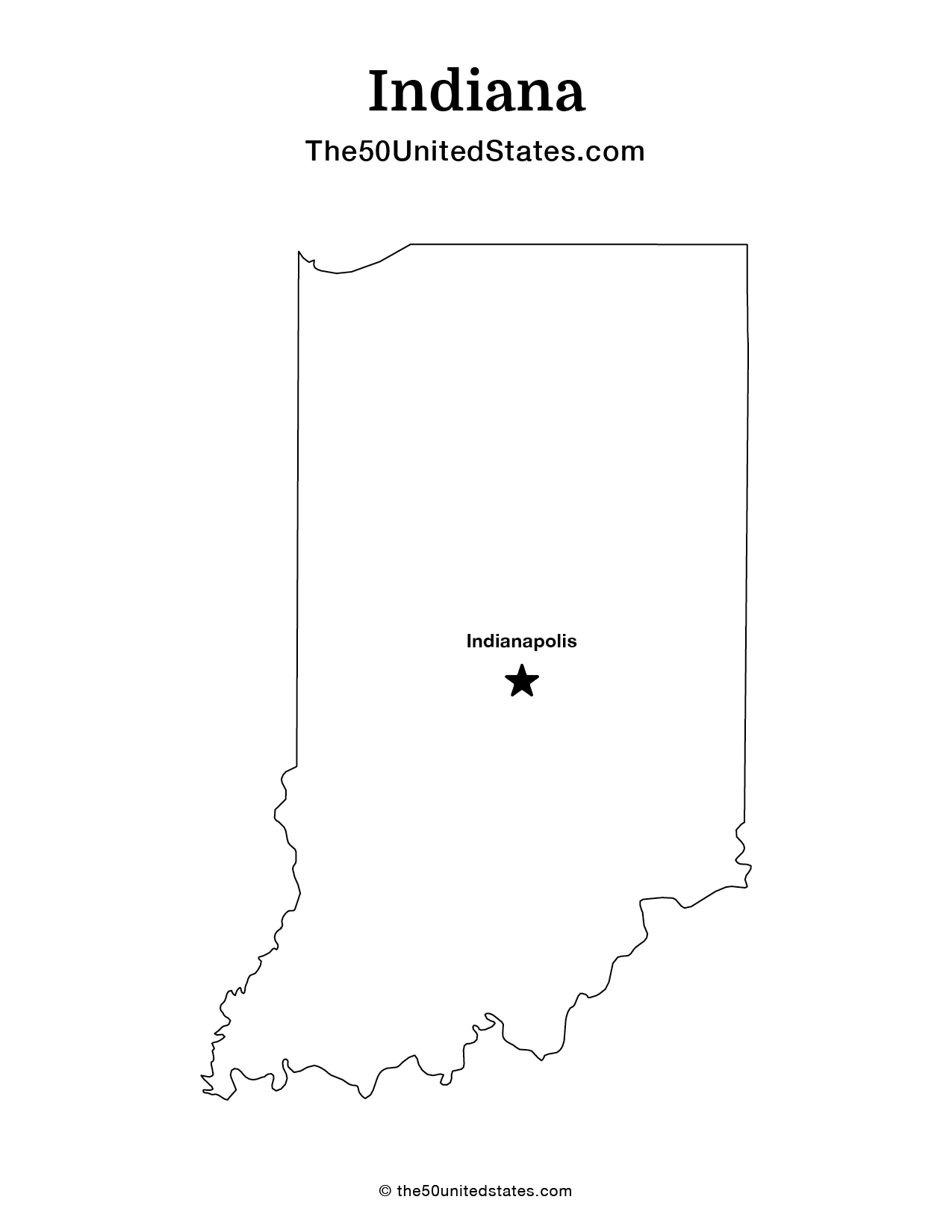
Indiana
State Motto
Indiana State Information
Indiana, located in the Midwest region of the United States, is a state characterized by its diverse landscapes, vibrant cities, and rich cultural heritage. Known as the "Hoosier State," Indiana boasts a mix of urban and rural areas, with Indianapolis, the state capital, serving as a bustling hub of commerce and culture. The state is renowned for its passionate sports culture, with the Indianapolis Motor Speedway hosting the iconic Indy 500 race. Additionally, Indiana offers picturesque countryside, including rolling farmlands and serene lakes. It has a deep historical connection to agriculture and manufacturing, which has evolved into a diverse economy encompassing technology, healthcare, and education. Indiana's warm and welcoming communities, along with its blend of tradition and innovation, make it a dynamic and inviting place to live and visit.
What's in a name?
Derived from 'Indian Land,' as it was originally territory inhabited by various Native American tribes.
Indiana Geography

| Area: | 36,420 sq mi (94,328 km²), 38th |
| Highest Point: | Hoosier Hill; 1,257 ft (117 m), 44th |
| Lowest Point: | Confluence of Wabash and Ohio rivers; 320 ft (30 m) |
| Bordering States: | Illinois, Kentucky, Michigan, Ohio |
| Area Codes: | Area Codes of Indiana |
| Zip Codes: | Zip Codes of Indiana |
Indiana boasts a diverse geography characterized by its gently rolling plains, fertile farmland, and numerous waterways. The state is bisected by the Wabash River, which serves as a natural boundary between the northern and southern regions. In the north, the landscape features the southern shore of Lake Michigan, with sand dunes and beaches along the lakefront. Central Indiana is marked by expansive farmlands and the state's capital, Indianapolis, while the southern part includes hilly terrain and the scenic Ohio River. Indiana's geography has historically contributed to its agricultural and industrial prowess, making it a pivotal state in the nation's heartland.
Indiana Economy
Indiana boasts a diverse and resilient economy driven by manufacturing, agriculture, technology, and healthcare sectors. As the "Crossroads of America," its strategic location facilitates transportation and logistics, including a robust network of highways, railroads, and ports, fostering a thriving manufacturing industry. The state is a hub for automotive and aerospace manufacturing, with major companies like General Motors, Ford, and Rolls-Royce operating here. Additionally, Indiana's agriculture sector is strong, producing corn, soybeans, and livestock. The tech industry is steadily growing, particularly in Indianapolis, where the presence of tech firms and research institutions contributes to innovation and job creation. Healthcare and life sciences also play a significant role, with Indianapolis hosting numerous pharmaceutical and medical device companies. Overall, Indiana's economy benefits from its diverse economic base, making it well-positioned for future growth and development
Agriculture
Top 3 crops / livestock for Indiana
- Corn
- Soybeans
- Hogs
Industry
Top 3 industries for Indiana
- Manufacturing
- Healthcare
- Agriculture
Indiana State Symbols
State Flag

State Seal

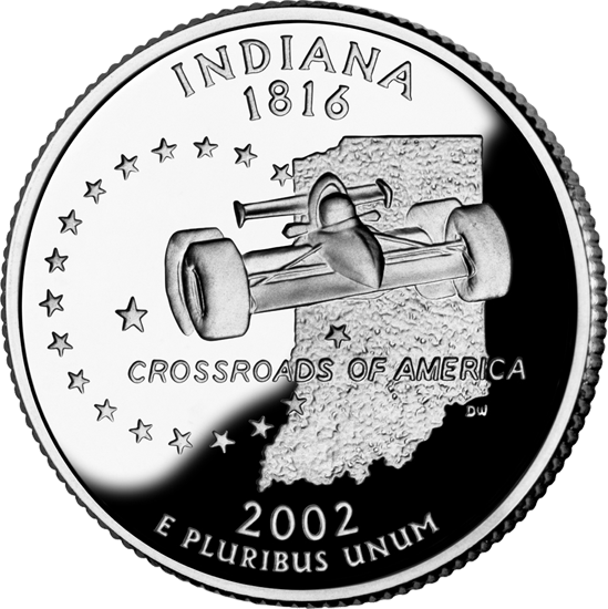
State Quarter


State Tree
 Tulip Tree
State Insect
 Say's Firefly

Ted Grajeda
The50UnitedStates.com Owner
The 50 United States is a Ted Grajeda project created to provide everyone with a fun and interactive way to learn about the great 50 states of the USA. Learn more

State Quizzes & Flashcards
Test your knowledge of the 50 States of the USA with these fun and interactive quizzes & flashcards!


Fee USA Maps
Download and printout hundreds of state maps. Each state map comes in PDF format, with capitals and cities, both labeled and blank. Visit FreeVectorMaps.com for thousands of free world, country and USA maps. View all USA Maps