Ohio
State Motto
With God, all things are possible
Ohio State Information
Ohio, located in the Midwest region of the United States, is a diverse and historically significant state known for its pivotal role in American history and politics. Nicknamed the "Buckeye State" for the prevalence of buckeye trees, Ohio boasts a rich cultural heritage, bustling cities like Columbus, Cleveland, and Cincinnati, and a diverse landscape that ranges from rolling farmland to the shores of Lake Erie. It's often considered a bellwether state in presidential elections due to its diverse demographics, making it an essential battleground state. Ohio's contributions to industry, including manufacturing and aviation, have been substantial, and it's home to numerous universities and research institutions. With a blend of urban vitality and rural charm, Ohio offers a unique blend of Midwestern hospitality and modern opportunities.
What's in a name?
Possibly derived from the Iroquoian word 'Ohiːyo,' meaning 'great river' or 'large creek.'
Ohio Geography
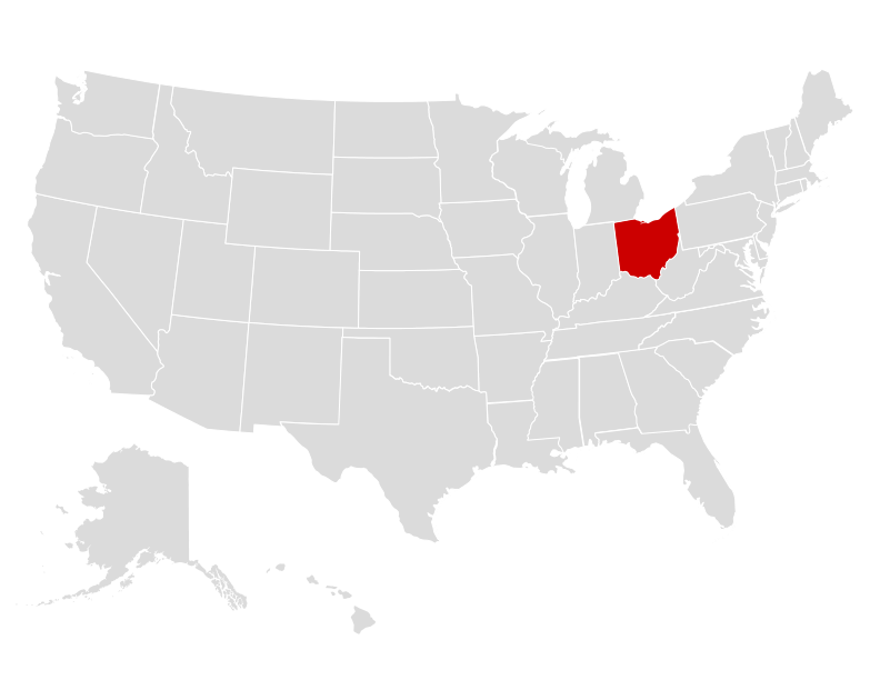
| Area: | 44,826 sq mi (116,099 km²), 34th |
| Highest Point: | Campbell Hill; 1,548 ft (144 m), 43rd |
| Lowest Point: | Ohio River; 455 ft (42 m) |
| Bordering States: | Indiana, Kentucky, Michigan, Pennsylvania, West Virginia |
| Area Codes: | Area Codes of Ohio |
| Zip Codes: | Zip Codes of Ohio |
Ohio boasts a diverse geography characterized by a combination of flat plains and rolling hills. The state is bordered by Lake Erie to the north, which contributes to its northern shoreline, providing fertile land for agriculture and offering access to the Great Lakes. Moving southward, Ohio transitions into the Appalachian Plateau region, known for its rugged terrain, dense forests, and deep river valleys. The central part of the state is dominated by the expansive and fertile Ohio Valley, where the Ohio River serves as a vital waterway. The southwestern corner features the beginnings of the Mississippi River watershed. Overall, Ohio's geography is marked by a blend of natural beauty, agricultural richness, and historical significance.
Ohio Economy
Ohio boasts a diverse and robust economy characterized by a mix of industries. It's a major manufacturing hub, particularly in sectors like automotive, aerospace, and machinery production. The state is home to several Fortune 500 companies, including Procter & Gamble, Nationwide, and Kroger. Additionally, Ohio has a strong agricultural sector, producing soybeans, corn, and dairy products. Its energy industry has been growing, with investments in renewable energy and shale gas exploration. The state's strategic location and an extensive transportation infrastructure, including the Port of Cleveland and a network of highways, contribute to its economic vitality. However, Ohio faces challenges, such as economic disparities between urban and rural areas, but its diverse economic base and ongoing efforts in innovation and technology make it a key player in the U.S. economy.
Agriculture
Top 3 crops / livestock for Ohio
- Cattle
- Poultry
- Wheat
Industry
Top 3 industries for Ohio
- Manufacturing
- Healthcare
- Technology
Ohio State Symbols
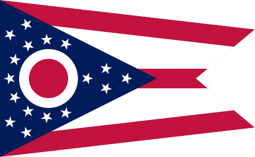
State Flag
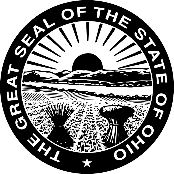
State Seal
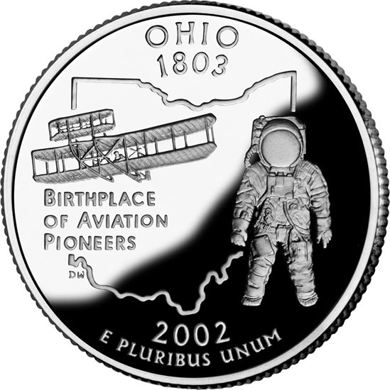
State Quarter
State Bird
 Cardinal
State Flower
 Scarlet Carnation
State Tree
 Ohio Buckeye
State Mammal
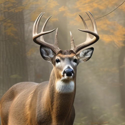 White-Tailed Deer
State Insect
 Ladybug

Ted Grajeda
The50UnitedStates.com Owner
The 50 United States is a Ted Grajeda project created to provide everyone with a fun and interactive way to learn about the great 50 states of the USA. Learn more

State Quizzes & Flashcards
Test your knowledge of the 50 States of the USA with these fun and interactive quizzes & flashcards!
Fee USA Maps
Download and printout hundreds of state maps. Each state map comes in PDF format, with capitals and cities, both labeled and blank. Visit FreeVectorMaps.com for thousands of free world, country and USA maps. View all USA Maps