Oregon
State Motto
Oregon State Information
Oregon, located in the Pacific Northwest region of the United States, is a state celebrated for its breathtaking natural beauty and diverse landscapes. From the rugged coastline along the Pacific Ocean, with its stunning cliffs and pristine beaches, to the majestic Cascade Range featuring iconic Mount Hood and Crater Lake, Oregon offers a wealth of outdoor recreational opportunities. The state is known for its vibrant cultural scene, with cities like Portland renowned for their progressive values, thriving arts communities, and eclectic culinary offerings. Oregon's commitment to sustainability and environmental preservation is evident in its lush forests, lush vineyards, and emphasis on eco-friendly practices. Whether exploring its lush forests, world-class wineries, or quirky communities, Oregon welcomes visitors with its unique blend of natural wonders and creative spirit.
What's in a name?
The origin of the name is uncertain, but it may have been named after the river, which may have been named after the Spanish word 'orejón,' meaning 'big ear.'
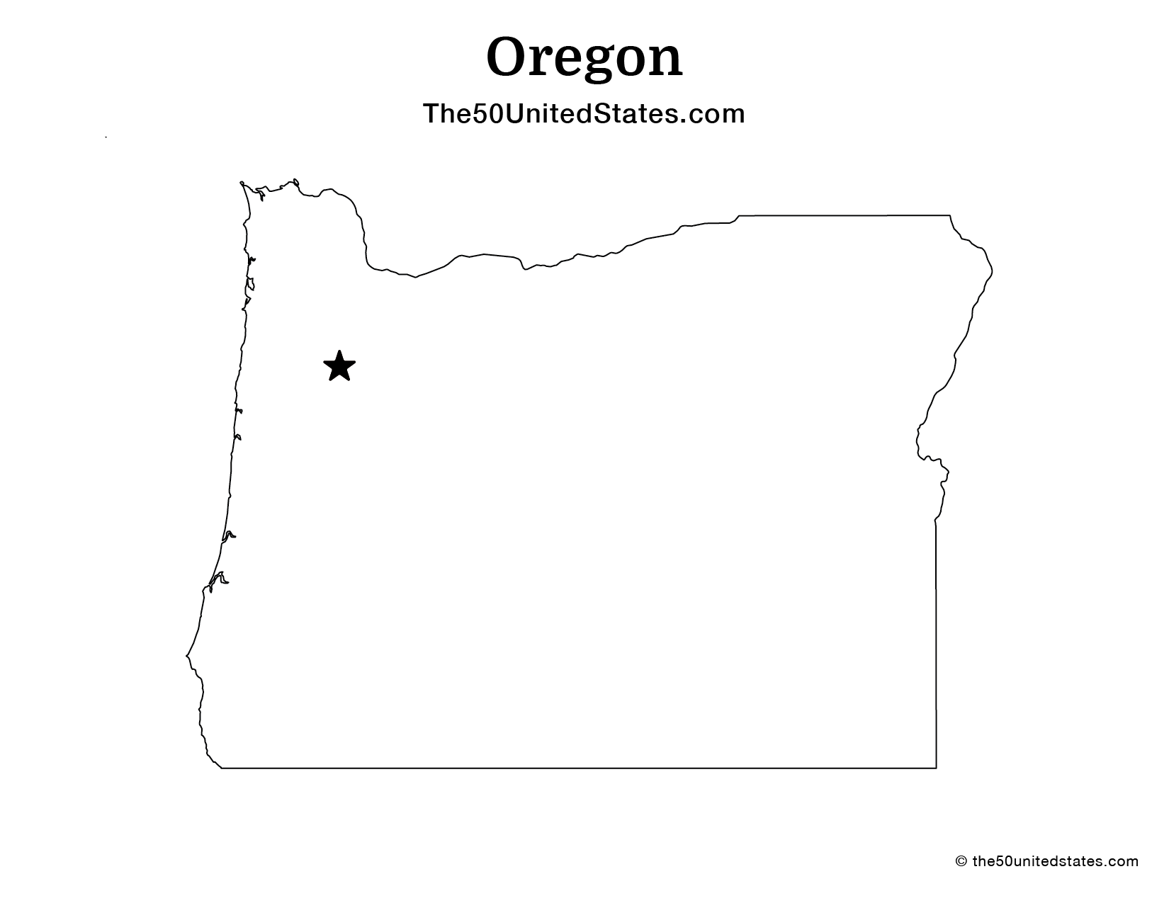
Oregon Geography

| Area: | 98,379 sq mi (254,802 km²), 9th |
| Highest Point: | Mount Hood; 11,249 ft (1,045 m), 13th |
| Lowest Point: | Pacific Ocean; Sea Level, 0 ft (0 m) |
| Bordering States: | California, Idaho, Nevada, Washington |
| Area Codes: | Area Codes of Oregon |
| Zip Codes: | Zip Codes of Oregon |
Oregon is characterized by diverse geography, encompassing coastal regions, dense forests, fertile valleys, and towering mountain ranges. To the west, the state boasts a stunning coastline along the Pacific Ocean, known for its rugged cliffs and picturesque beaches. As one moves inland, the landscape transitions into lush forests, particularly in the western part of the state, with dense stands of evergreen trees. The fertile Willamette Valley, situated between the Coast Range and the Cascade Range, is renowned for its agriculture, producing a variety of crops. To the east, the Cascade Range dominates the skyline, home to iconic peaks such as Mount Hood and Crater Lake, the deepest lake in the United States. This range also divides the state's wet, mild west from its drier, more arid eastern regions. Overall, Oregon's geography offers a rich tapestry of natural beauty and diverse ecosystems.
Oregon Economy
The economy of the state of Oregon is characterized by its diverse industries and a strong focus on technology, manufacturing, agriculture, and natural resources. While traditionally known for its timber and forestry sector, Oregon has diversified its economy over the years. The state is home to a thriving technology sector, with companies like Intel and Nike headquartered in the region, contributing significantly to employment and innovation. Additionally, Oregon boasts a robust agricultural industry, producing crops such as berries, wine grapes, and hazelnuts. Tourism plays a vital role in the state's economy, driven by its stunning natural landscapes, including the Pacific coastline, Crater Lake, and numerous national parks. Overall, Oregon's economy benefits from a mix of traditional and emerging industries, making it a dynamic and resilient contributor to the Pacific Northwest's economic landscape.
Agriculture
Top 3 crops / livestock for Oregon
- Dairy
- Poultry
- Corn
Industry
Top 3 industries for Oregon
- Technology
- Agriculture
- Manufacturing
Oregon State Symbols
State Flag

State Seal

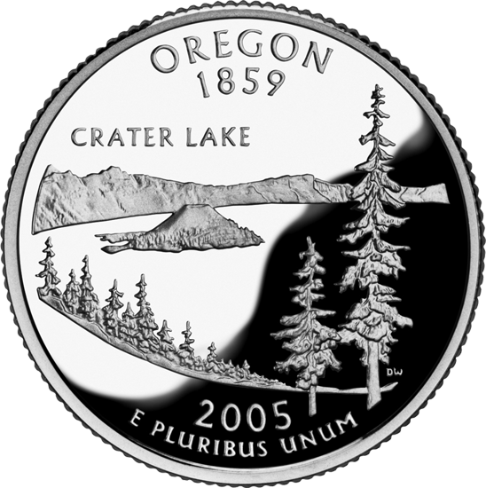
State Quarter
State Bird
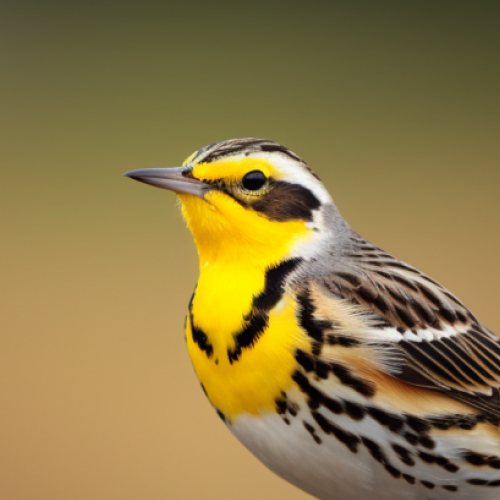 Western Meadowlark
State Flower
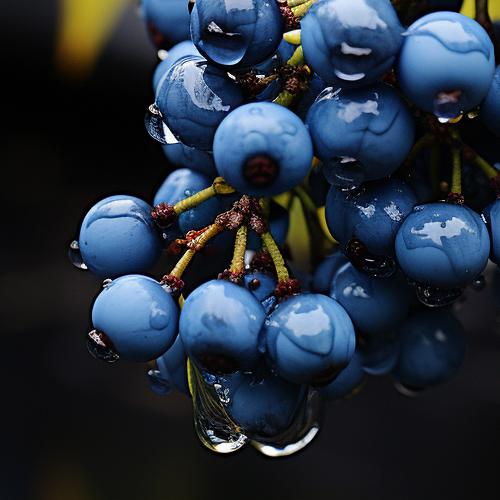 Oregon Grape
State Tree
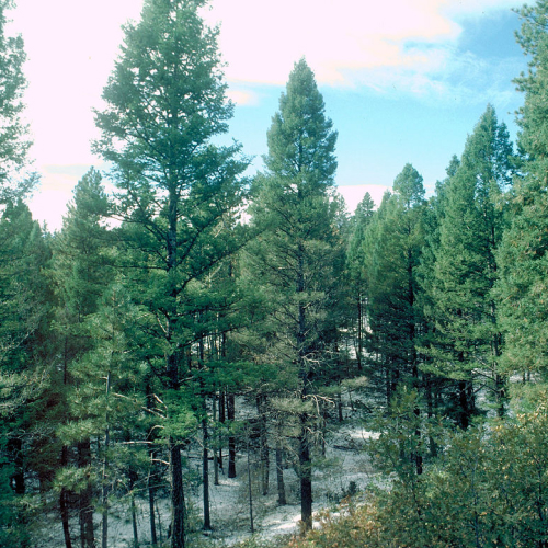 Douglas Fir
State Mammal
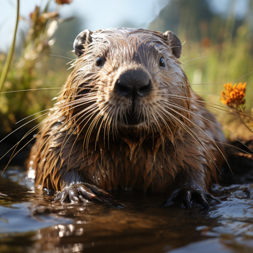 American Beaver
State Fish
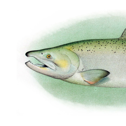 Chinook Salmon
State Insect
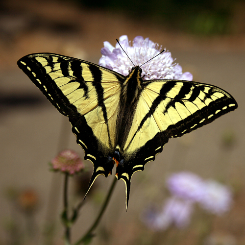 Oregon Swallowtail Butterfly

Ted Grajeda
The50UnitedStates.com Owner
The 50 United States is a Ted Grajeda project created to provide everyone with a fun and interactive way to learn about the great 50 states of the USA. Learn more
State Quizzes & Flashcards
Test your knowledge of the 50 States of the USA with these fun and interactive quizzes & flashcards!


Fee USA Maps
Download and printout hundreds of state maps. Each state map comes in PDF format, with capitals and cities, both labeled and blank. Visit FreeVectorMaps.com for thousands of free world, country and USA maps. View all USA Maps