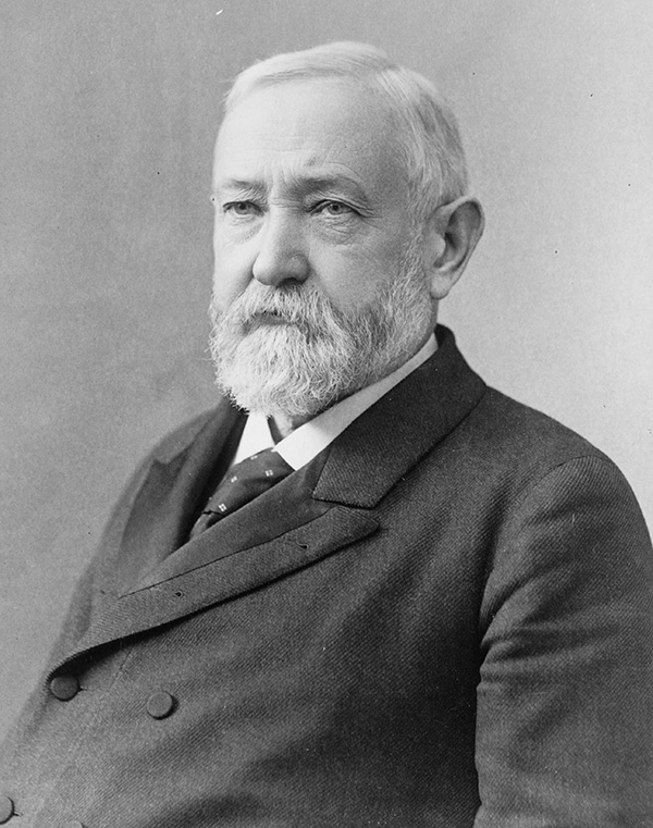
Benjamin Harrison
23rd President of the United States
Years in Office: 1889-1893
Party: Republican
Did you know?
President Benjamin Harrison was the first president to have electricity in the White House, but he and his wife were so scared of getting shocked that they often slept with the lights on.
Benjamin Harrison
Benjamin Harrison, the 23rd President of the United States, served from 1889 to 1893. Born on August 20, 1833, in North Bend, Ohio, Harrison hailed from a prominent political family; his grandfather, William Henry Harrison, was the ninth president. Before entering politics, Benjamin Harrison pursued law and fought in the Civil War. Harrison, a Republican, won the presidency in 1888, defeating incumbent Grover Cleveland. During his term, he focused on economic issues, advocating for protective tariffs to benefit American industries. The McKinley Tariff Act of 1890, which raised tariffs to historically high levels, was a significant accomplishment during his administration. Harrison also signed the Sherman Antitrust Act into law, marking an early attempt to regulate monopolistic practices. However, his presidency faced challenges, including economic downturns and internal party divisions. Harrison lost his re-election bid to Grover Cleveland in 1892. Post-presidency, he resumed his law practice and remained involved in Republican politics. Benjamin Harrison passed away on March 13, 1901, leaving a legacy of contributions to economic policy and antitrust legislation.

State Quizzes & Flashcards
Test your knowledge of the 50 States of the USA with these fun and interactive quizzes & flashcards!


Fee USA Maps
Download and printout hundreds of state maps. Each state map comes in PDF format, with capitals and cities, both labeled and blank. Visit FreeVectorMaps.com for thousands of free world, country and USA maps. View all USA Maps