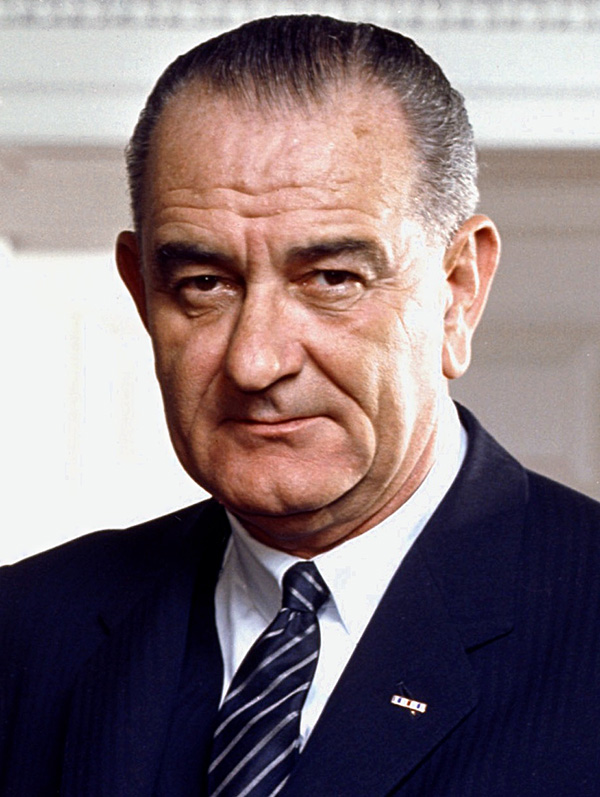
Lyndon B. Johnson
36th President of the United States
Years in Office: 1963-1969
Party: Democratic
Did you know?
Lyndon B. Johnson had a pet beagle named Him. Him became a favorite at the White House and even attended official functions, delighting the Johnson family and adding a touch of playfulness to the presidential residence.
Lyndon B. Johnson
Lyndon B. Johnson, the 36th President of the United States, served from 1963 to 1969. Born on August 27, 1908, in Stonewall, Texas, Johnson assumed the presidency following the assassination of President John F. Kennedy. As President, he focused on advancing civil rights legislation, aiming to eliminate racial segregation and promote equality. Johnson's domestic policy achievements include the Civil Rights Act of 1964 and the Voting Rights Act of 1965, crucial pieces of legislation that aimed to end racial discrimination and protect voting rights. Johnson also implemented his vision of the "Great Society," an ambitious set of social programs addressing poverty, education, and healthcare. However, his presidency faced challenges, particularly due to the escalating Vietnam War. The conflict dominated his second term, leading to public discontent and his decision not to seek reelection in 1968. Johnson's complex legacy is marked by his domestic achievements and the controversy surrounding the Vietnam War, making him a pivotal figure in 20th-century American history. He passed away on January 22, 1973.

State Quizzes & Flashcards
Test your knowledge of the 50 States of the USA with these fun and interactive quizzes & flashcards!

Fee USA Maps
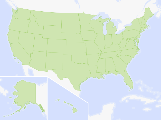
Download and printout hundreds of state maps. Each state map comes in PDF format, with capitals and cities, both labeled and blank. Visit FreeVectorMaps.com for thousands of free world, country and USA maps. View all USA Maps