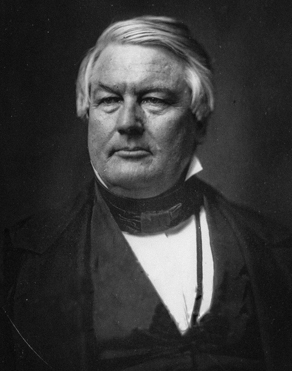
Millard Fillmore
13th President of the United States
Years in Office: 1850-1853
Party: Whig
Did you know?
President Millard Fillmore installed the first library in the White House, creating a child-friendly environment that emphasized the importance of education and reading within the presidential residence.
Millard Fillmore
Millard Fillmore, the 13th President of the United States, served from 1850 to 1853. Born on January 7, 1800, in Cayuga County, New York, Fillmore rose from humble beginnings to become a lawyer and enter politics. He became Vice President under Zachary Taylor and assumed the presidency after Taylor's death in 1850. Fillmore's presidency was marked by his support for the Compromise of 1850, a series of legislative measures aimed at addressing the contentious issue of slavery in the newly acquired territories from the Mexican-American War. Fillmore's decision to sign the Compromise, despite his personal opposition to slavery, reflected his commitment to preserving the Union. While he avoided major conflicts during his term, his presidency is often criticized for its perceived lack of strong leadership on the slavery issue. After leaving office in 1853, Fillmore continued to be involved in politics and civic affairs, and he later played a role in the founding of the University at Buffalo. Millard Fillmore passed away on March 8, 1874.

State Quizzes & Flashcards
Test your knowledge of the 50 States of the USA with these fun and interactive quizzes & flashcards!


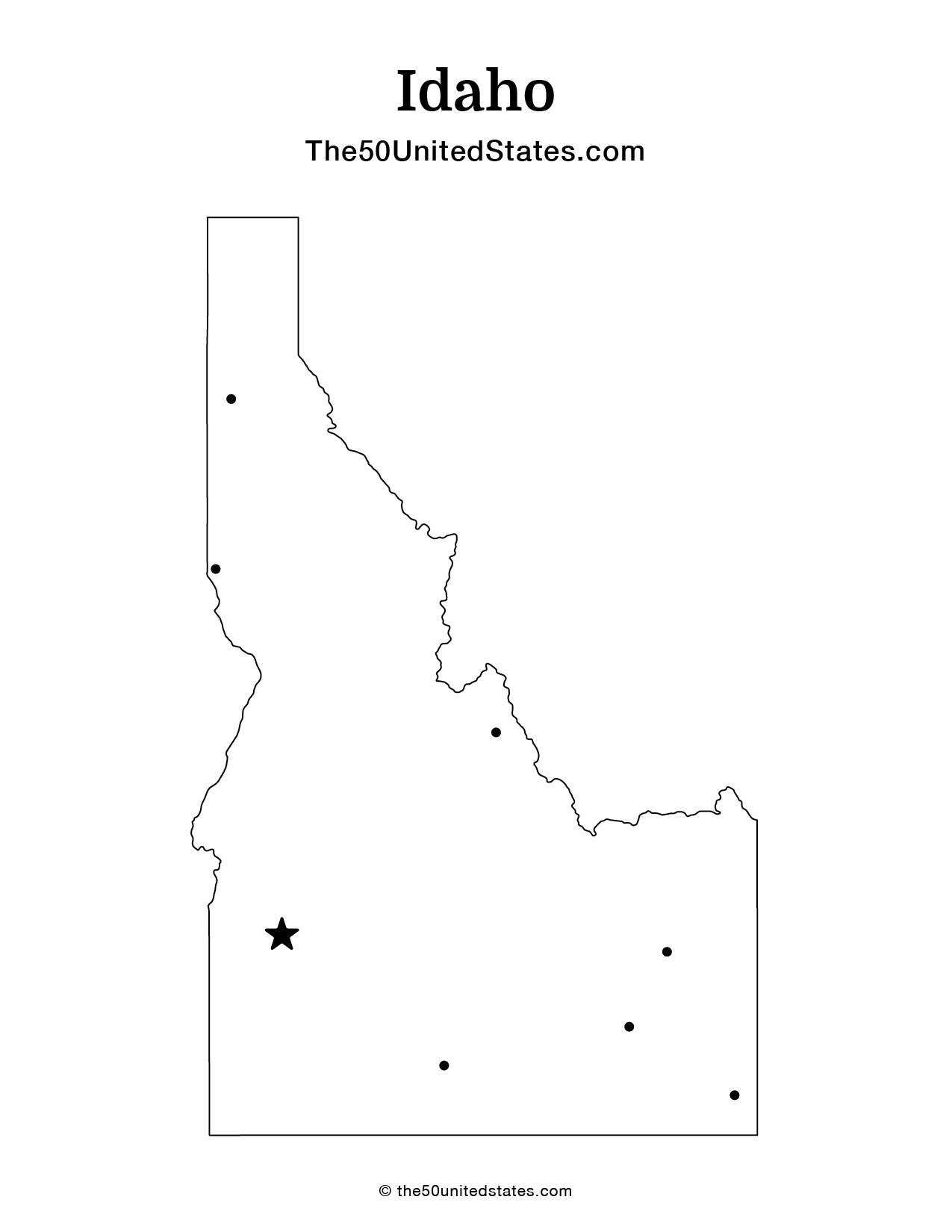
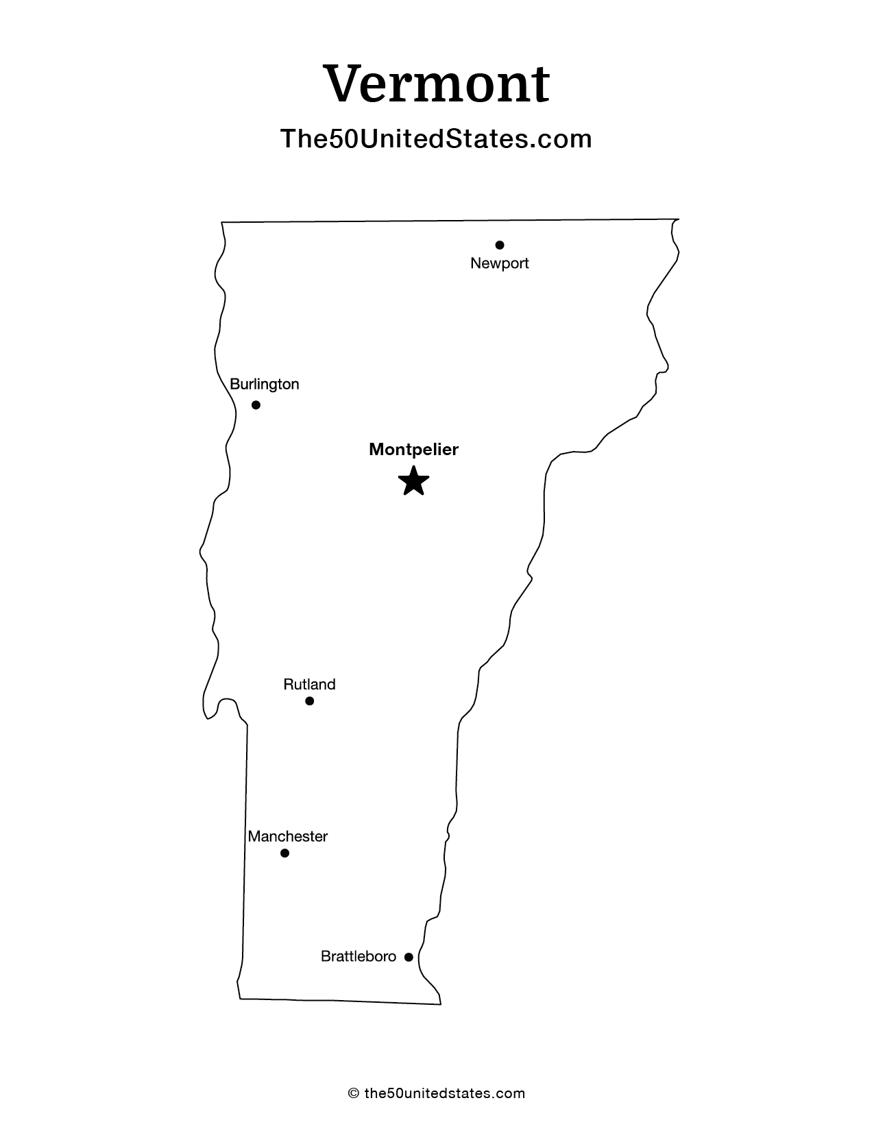
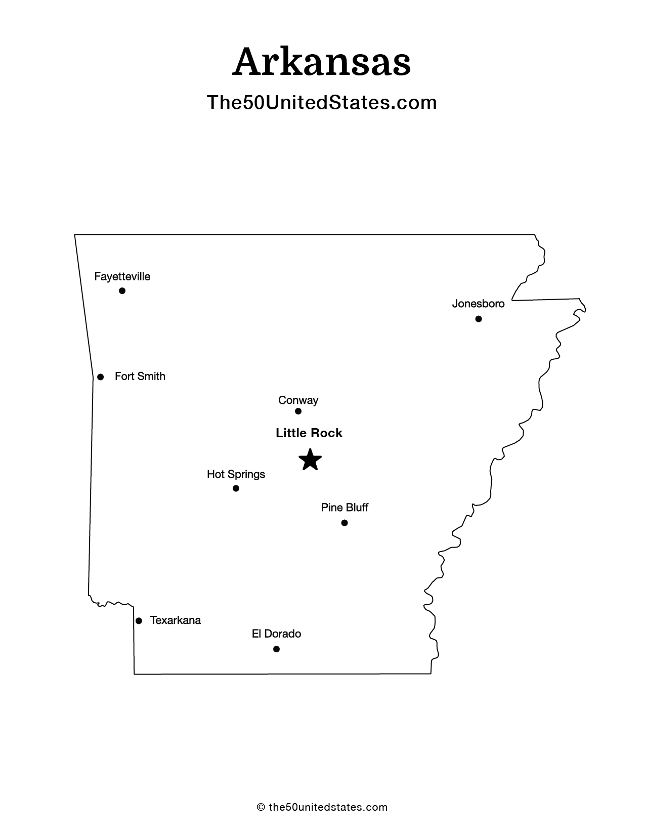
Fee USA Maps
Download and printout hundreds of state maps. Each state map comes in PDF format, with capitals and cities, both labeled and blank. Visit FreeVectorMaps.com for thousands of free world, country and USA maps. View all USA Maps