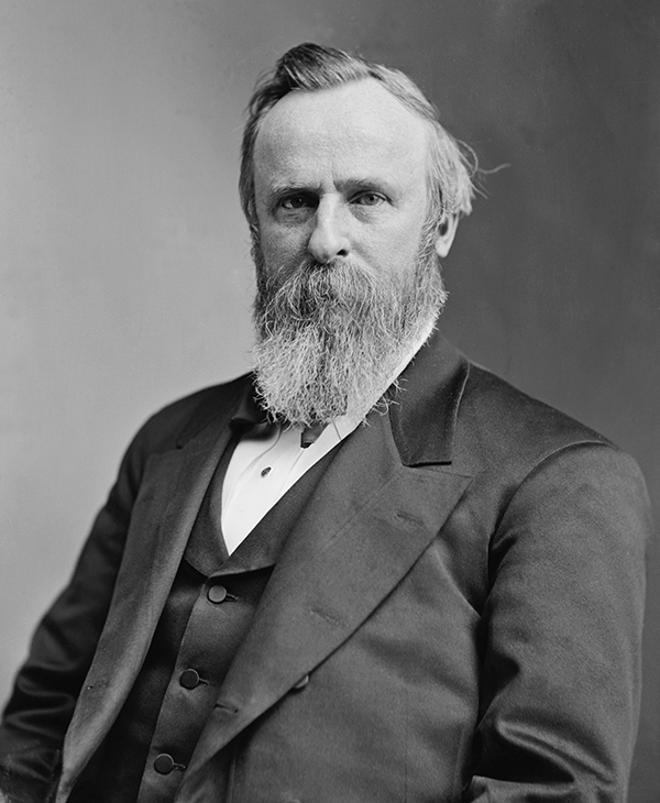
Rutherford B. Hayes
19th President of the United States
Years in Office: 1877-1881
Party: Republican
Did you know?
President Rutherford B. Hayes and his wife, Lucy, were the first White House residents to have a telephone; their number was simply "1," and the playful couple enjoyed using it for chatting with friends and family.
Rutherford B. Hayes
Rutherford Birchard Hayes, the 19th President of the United States, served from 1877 to 1881. Born on October 4, 1822, in Delaware, Ohio, Hayes was a lawyer and a Union Army officer during the American Civil War. His presidency is often associated with the controversial election of 1876, in which he faced Democrat Samuel J. Tilden. The election results were disputed, and a special electoral commission was formed to decide the winner. In the Compromise of 1877, it was agreed that Hayes would become president, but in return, federal troops were withdrawn from the South, effectively ending the Reconstruction era. Hayes pursued civil service reform, advocated for educational improvements, and worked to reconcile the divisions left by the Civil War. His administration focused on promoting merit-based appointments and attempting to heal the wounds of the nation. After leaving office, Hayes retired to his home in Ohio and became known for his post-presidential advocacy, supporting causes such as prison reform and education. He passed away on January 17, 1893.

State Quizzes & Flashcards
Test your knowledge of the 50 States of the USA with these fun and interactive quizzes & flashcards!


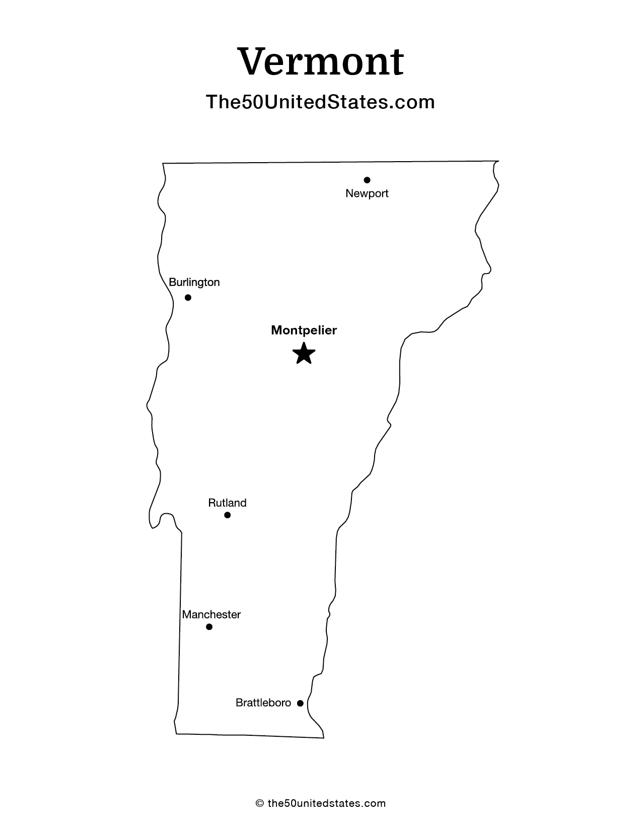
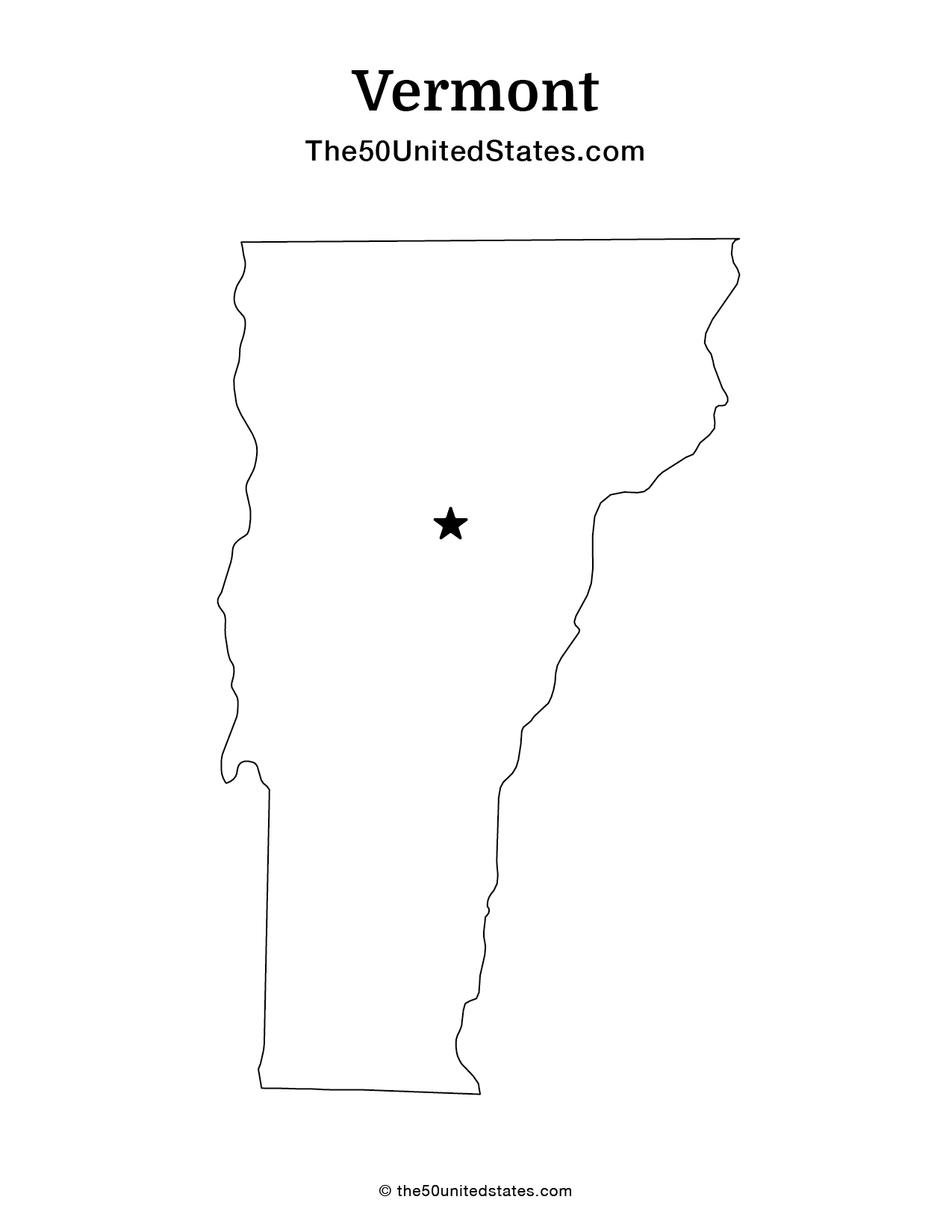
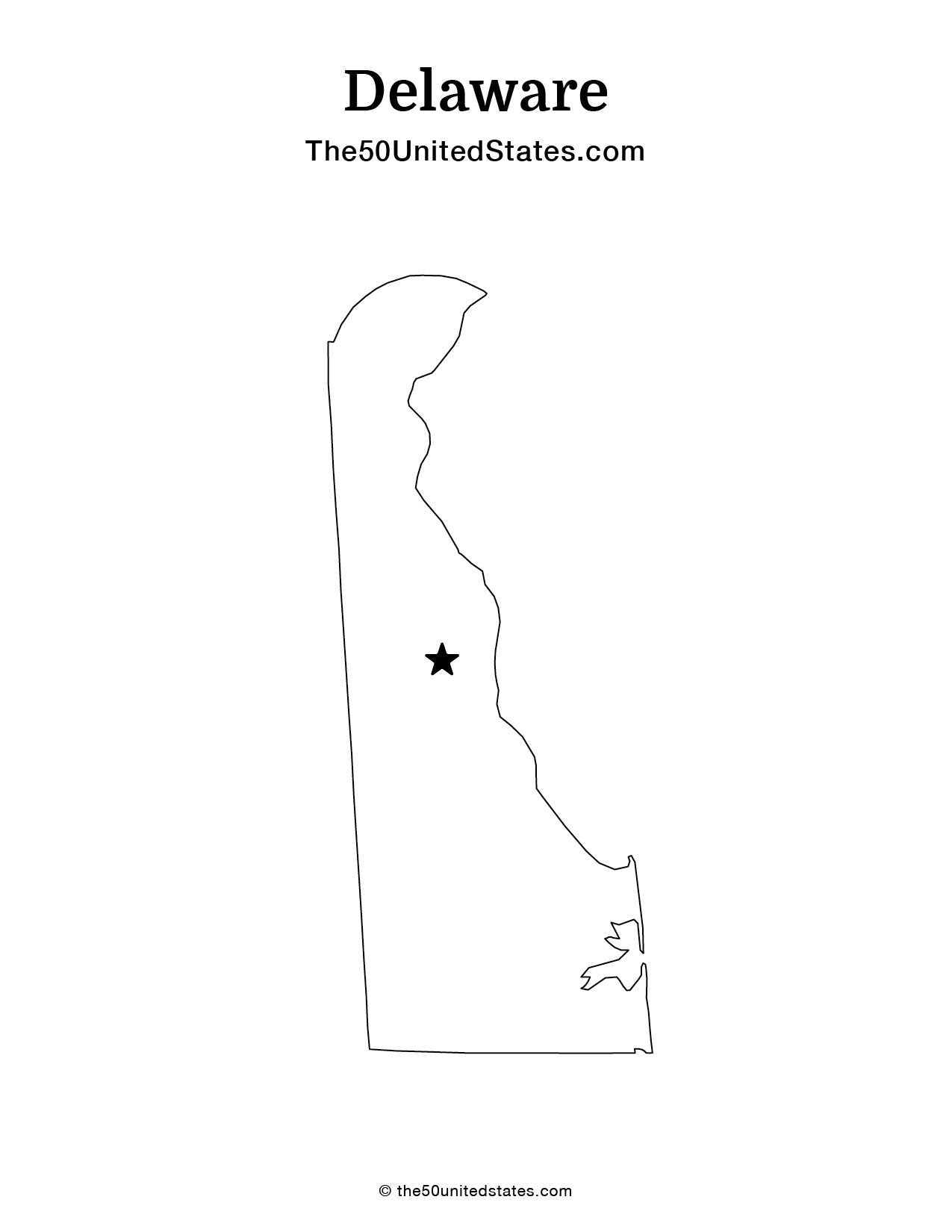
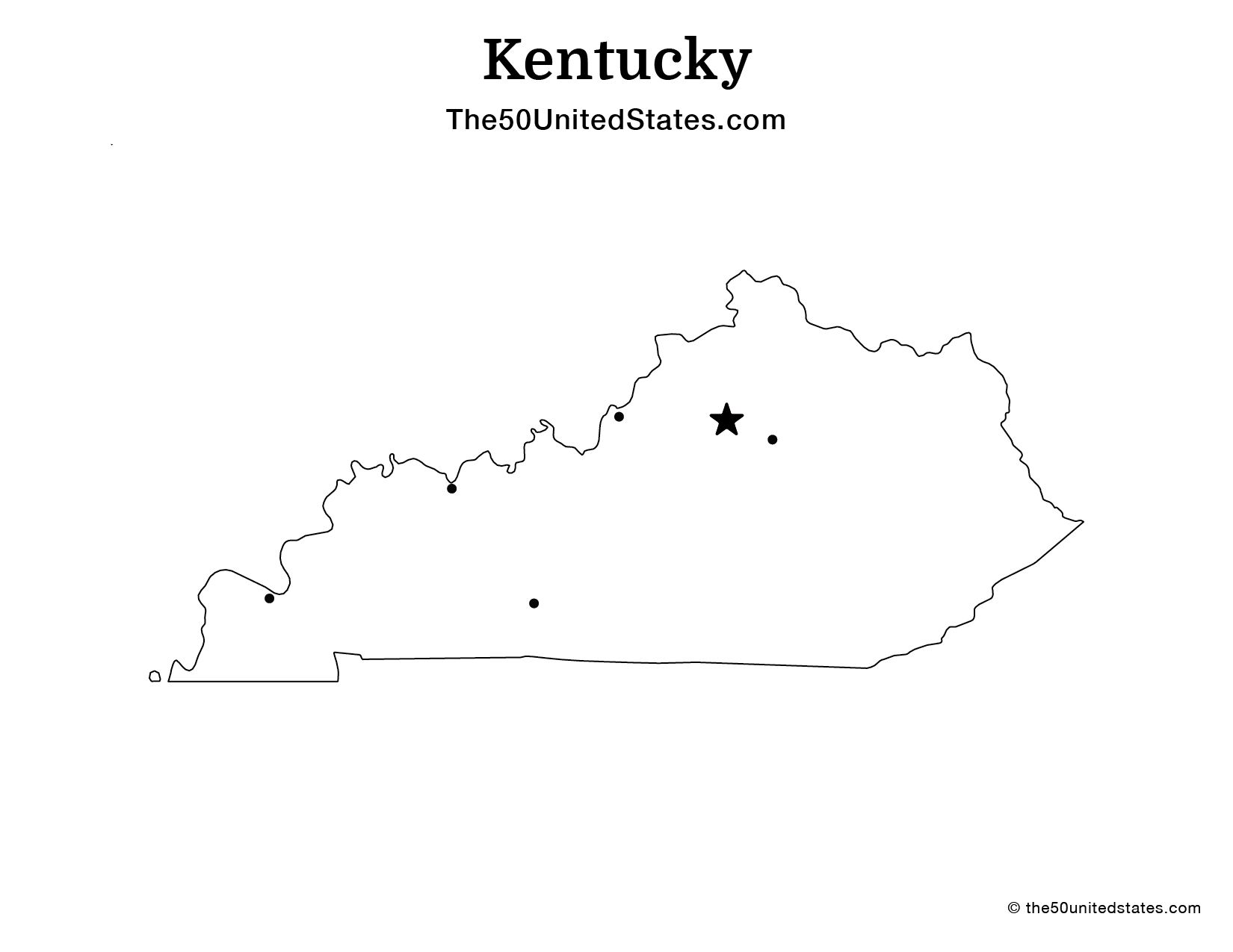
Fee USA Maps
Download and printout hundreds of state maps. Each state map comes in PDF format, with capitals and cities, both labeled and blank. Visit FreeVectorMaps.com for thousands of free world, country and USA maps. View all USA Maps