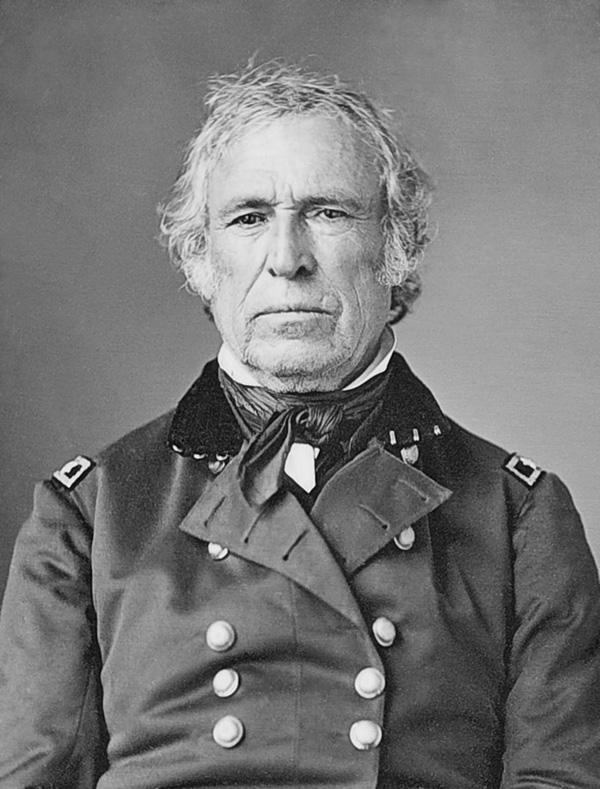
Zachary Taylor
12th President of the United States
Years in Office: 1849-1850
Party: Whig
Served only 16 months, died in office
Did you know?
President Zachary had a beloved pet horse named "Old Whitey," which he rode during the Mexican-American War and who became somewhat of a celebrity in his own right.
Zachary Taylor
Zachary Taylor, the 12th President of the United States, served from March 1849 until his untimely death in July 1850. Born on November 24, 1784, in Orange County, Virginia, Taylor was a career military officer known for his leadership during the Mexican-American War. His victories at Palo Alto, Resaca de la Palma, Monterrey, and Buena Vista earned him the nickname "Old Rough and Ready." Taylor, a Whig candidate, assumed the presidency with no prior political experience. His brief tenure was marked by debates over the contentious issue of slavery in newly acquired territories from the Mexican-American War. Despite being a slaveholder himself, Taylor advocated for the admission of California as a free state, causing tension with Southern states. His sudden death on July 9, 1850, from a gastrointestinal illness, possibly cholera, elevated Vice President Millard Fillmore to the presidency, leading to the eventual compromise on the slavery issue. Zachary Taylor's legacy is often overshadowed by the political turbulence of his time, but his military achievements and the complex issues surrounding his presidency remain part of American history.

State Quizzes & Flashcards
Test your knowledge of the 50 States of the USA with these fun and interactive quizzes & flashcards!


Fee USA Maps
Download and printout hundreds of state maps. Each state map comes in PDF format, with capitals and cities, both labeled and blank. Visit FreeVectorMaps.com for thousands of free world, country and USA maps. View all USA Maps