Sponsored vectors from Shutterstock
Click to save 20% sitewide with code MAPS20


Free Map of Kentucky with Cities (Labeled)
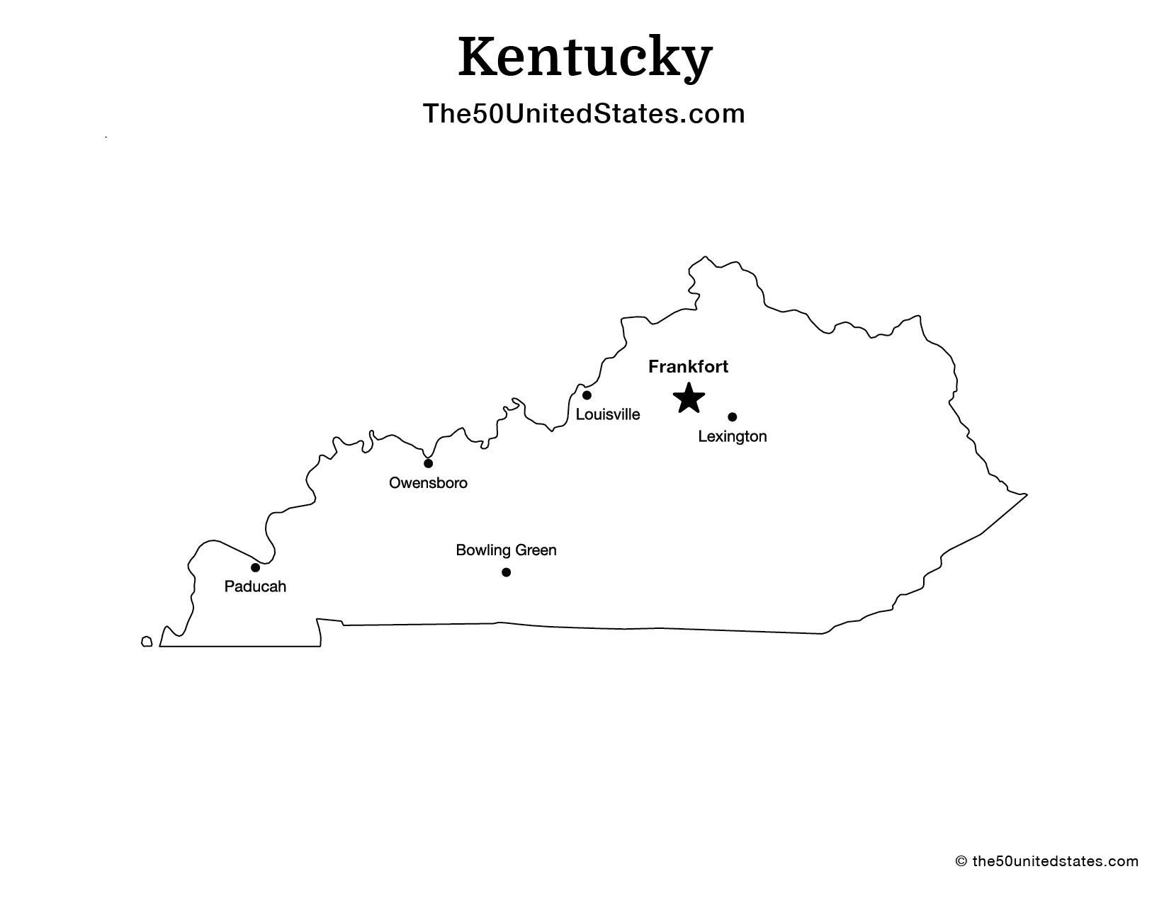
Download and print this map of Kentucky, available in US Letter format for easy printing. All maps are copyright © The50UnitedStates.com, but may be downloaded, printed, and used freely for educational and homeschooling purposes. These high-quality printable maps are ideal for classroom activities, study guides, worksheets, and geography lessons.

More maps of Kentucky
Discover a collection of Kentucky state maps designed for education and reference, featuring detailed and blank layouts you can download and print for classrooms, projects, or personal use.