Oklahoma
State Motto
Labor Omnia Vincit (Labor conquers all things)
Oklahoma State Information
Oklahoma, located in the southern-central region of the United States, is a state rich in both cultural diversity and natural beauty. Known for its vast prairies, rolling plains, and unique red soil, the state offers a diverse landscape that includes fertile farmlands, serene lakes, and rugged mountain ranges. Oklahoma is deeply intertwined with Native American history and culture, with numerous tribal nations calling the state home. The capital city, Oklahoma City, is a bustling urban center, while Tulsa is another major metropolitan area known for its cultural attractions. The state's economy is driven by industries such as energy, agriculture, aerospace, and technology. Oklahomans also take great pride in their vibrant arts scene, world-class museums, and a rich musical heritage that includes a strong connection to country, jazz, and Native American traditions.
What's in a name?
Derived from two Choctaw words, 'okla' meaning 'people' and 'humma' meaning 'red.'
Oklahoma Geography
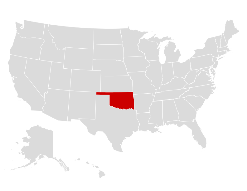
| Area: | 69,899 sq mi (181,038 km²), 20th |
| Highest Point: | Black Mesa; 4,975 ft (462 m), 23rd |
| Lowest Point: | Little River; 289 ft (27 m) |
| Bordering States: | Arkansas, Colorado, Kansas, Missouri, New Mexico, Texas |
| Area Codes: | Area Codes of Oklahoma |
| Zip Codes: | Zip Codes of Oklahoma |
Oklahoma boasts diverse geography that encompasses rolling plains, dense forests, expansive prairies, and rugged mountain ranges. The state is characterized by the Great Plains to the west and the Ozark Plateau to the northeast, offering a striking contrast between the flatlands and the elevated terrain. With the Arkansas River meandering through its eastern portion and the Panhandle region extending into the High Plains of Texas, Oklahoma features a range of ecosystems and landscapes. The state is also known for its Great Salt Plains, numerous lakes, and the Wichita Mountains, providing ample opportunities for outdoor enthusiasts and showcasing the rich geographical tapestry of Oklahoma.
Oklahoma Economy
The economy of Oklahoma is diverse and driven by various sectors, with a strong emphasis on energy, agriculture, aerospace, and manufacturing. As a major player in the energy industry, the state is known for its oil and natural gas production, with significant reserves in shale formations. Agriculture remains a vital sector, with the state being a leading producer of cattle, wheat, and poultry. Aerospace and defense industries are also thriving, with a concentration of military bases and aviation manufacturing companies. Additionally, manufacturing and technology sectors have been expanding, contributing to the state's economic growth. Tourism, particularly related to Native American heritage and natural attractions, further bolsters Oklahoma's economy. However, the state also faces economic challenges, including fluctuations in energy prices and the need for continued diversification to ensure long-term stability and growth.
Agriculture
Top 3 crops / livestock for Oklahoma
- Nursery/Greenhouse
- Grass Seed
- Milk
Industry
Top 3 industries for Oklahoma
- Energy
- Aerospace
- Agriculture
Oklahoma State Symbols
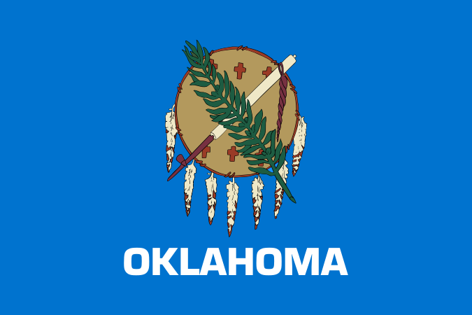
State Flag
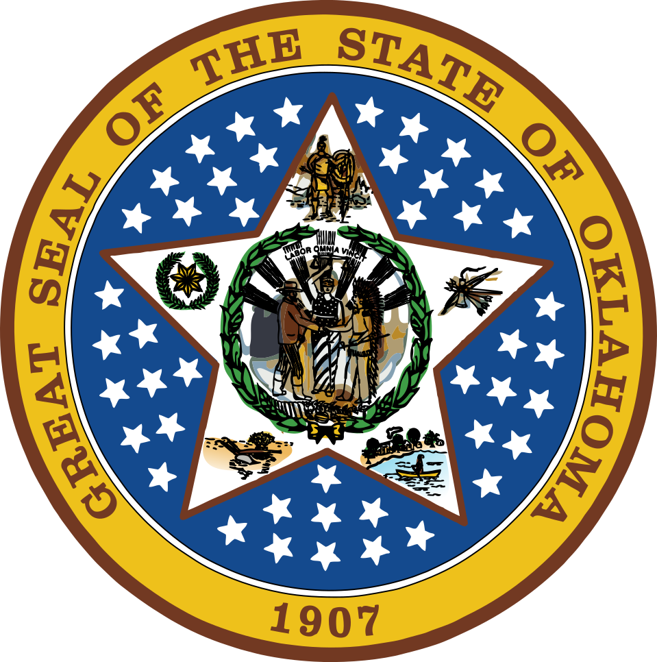
State Seal
State Quarter
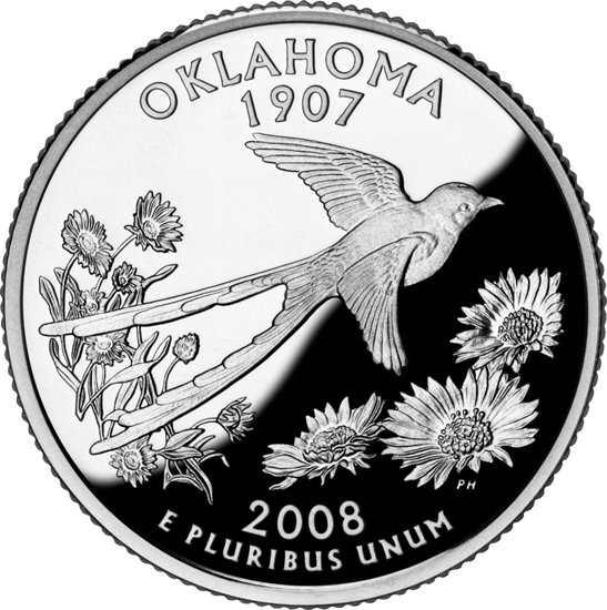
State Bird
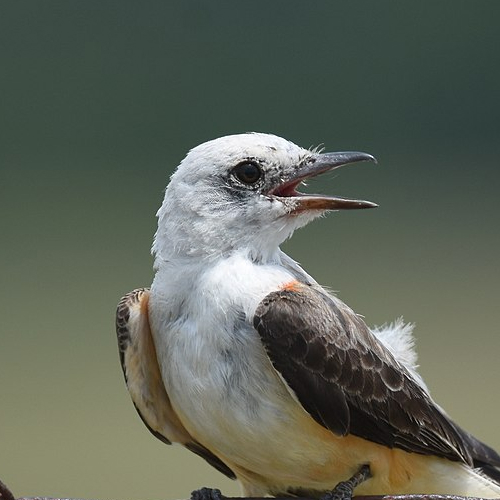 Scissor-Tailed Flycatcher
State Flower
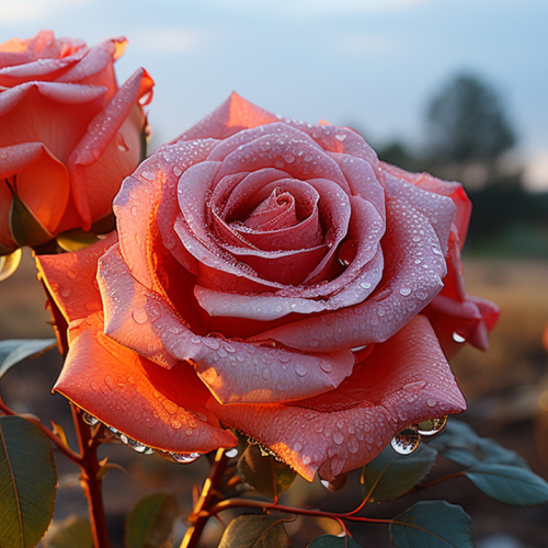 Oklahoma Rose
State Tree
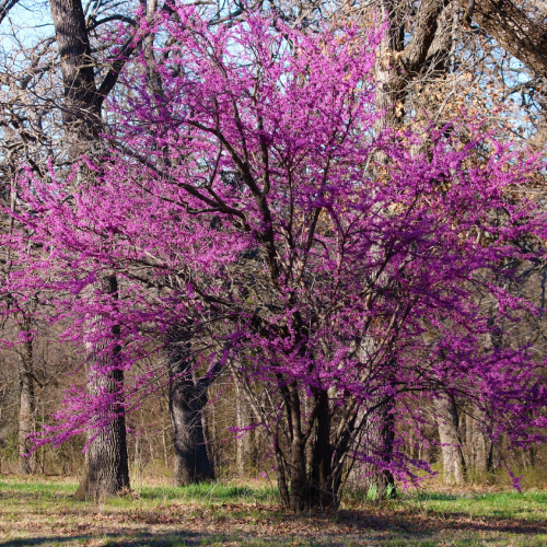 Eastern Redbud
State Mammal
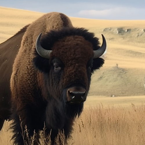 American Bison
State Fish
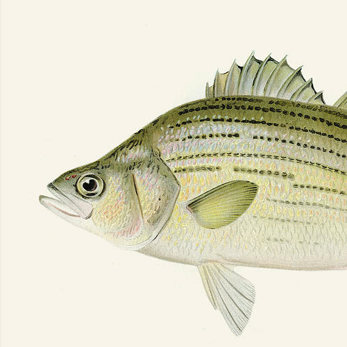 White Bass
State Insect
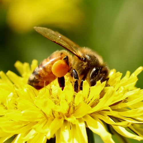 Honey Bee

Ted Grajeda
The50UnitedStates.com Owner
The 50 United States is a Ted Grajeda project created to provide everyone with a fun and interactive way to learn about the great 50 states of the USA. Learn more

State Quizzes & Flashcards
Test your knowledge of the 50 States of the USA with these fun and interactive quizzes & flashcards!
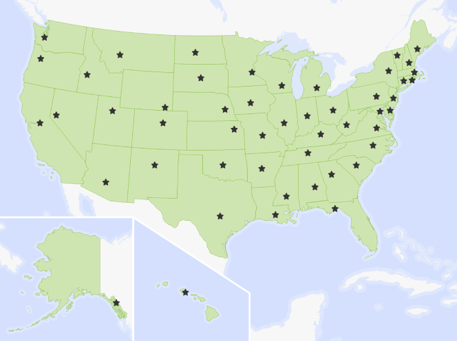
Fee USA Maps
Download and printout hundreds of state maps. Each state map comes in PDF format, with capitals and cities, both labeled and blank. Visit FreeVectorMaps.com for thousands of free world, country and USA maps. View all USA Maps